Folsom Lake map
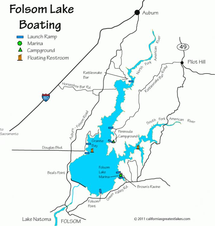
Folsom lake has more than 11,500 surface acres when full and almost 75 miles of shoreline. The spillway elevation is 466 feet above sea level. Folsom Dam was placed just below the confluence of the north and south forks of the American River which divide the lake into three sections including the main lake body. The primary purpose of the dam was to provide flood control, hydroelectric power, and irrigation. The resulting benefit of this dam was the creation of one of the most popular parks in the California State Park Systems. Each year between two and three million people visit this area for camping, fishing, sailing, horseback riding, picnicking and other outdoor activities and today, I was one of them. This picture is included in the Folsom Lake - There's always a cell phone camera when you need one! photo album belonging to Badger. It has been uploaded on 29 Jul 2012 at 11:10PM. Votes: 0 You can return to Badger's album or open your photo album. Comments No comments have been posted yet. (You must be logged in to post comments) |
©2000-2026 GoldToken.com LLC. All rights reserved. |